
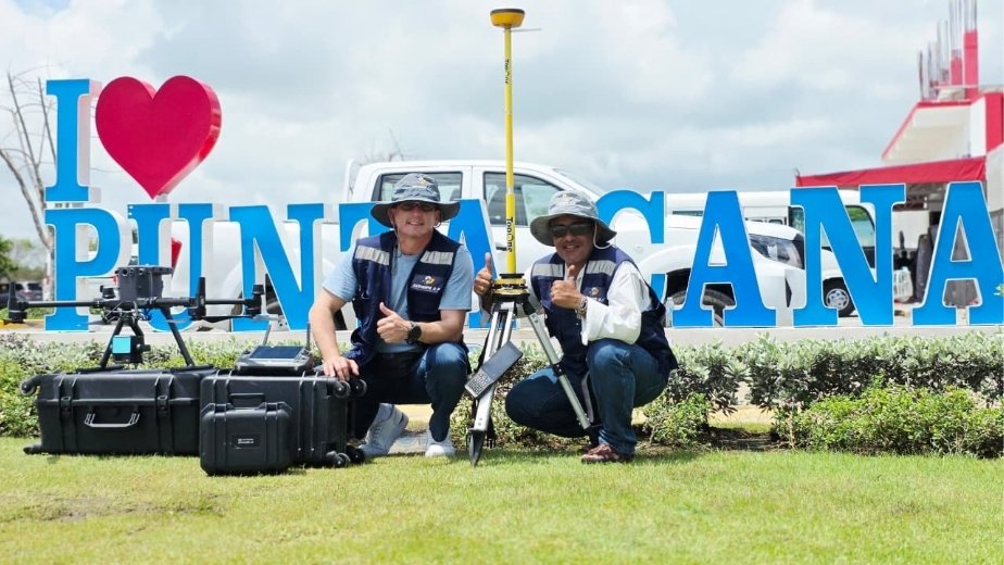
LiDAR and GPS Topographic Survey in Punta Cana: Technology for Precise Planning
Specialized surveying has become a key tool for infrastructure, urban development, construction, agriculture, energy, and land-use planning projects. On large-scale projects, accurate terrain data supports better decisions from the earliest stages, reduces technical uncertainty, and streamlines design and execution. In Punta Cana, Dominican Republic, SECONPA

