Seismic risk management means moving from understanding the hazard —where the ground can shake and how hard— to reducing its consequences before an earthquake strikes. Earthquakes cannot be prevented or predicted precisely, but their effects can be reduced through scientific knowledge, urban planning, site characterization, sound design, quality construction, maintenance, and institutional preparedness.
That was the central conclusion of the Engineering and Seismic Risk Forum held on September 8, 2026, at the Technological University of Panama, one month before the Azuero earthquake. In this article, developed from the insights of geologist Keli Correa, we explain what seismic risk management involves in Panama and why it starts with understanding the ground.
Hazard, vulnerability, and exposure: the foundation of seismic risk management
To manage seismic risk, it helps to distinguish three concepts that are often confused:
- Hazard: the likelihood that an earthquake will occur and the severity of ground shaking at a given site. It depends on nearby faults and on the local geology.
- Vulnerability: how susceptible a structure is to damage. It depends on its design, materials, age, construction quality, and maintenance.
- Exposure: what is at stake: the people, buildings, services, and infrastructure located in the area.
Risk is the combination of all three. Panama cannot change its hazard, which comes from its fault lines, but it can reduce vulnerability and plan exposure more carefully. That is where seismic risk management has room to act.
Code compliance is the starting point, not the finish line
Panama’s seismic regulations have evolved from the 1976 Seismic Code and REP-1984 to the current REP-2021, approved by the Technical Board of Engineering and Architecture (JTIA) through Resolution JTIA 020-2022 and in force since April 30, 2023. It incorporates hazard maps, acceleration parameters, and site-specific dynamic response.
But in seismic risk management, code compliance alone does not guarantee safety. Safety also depends on:
- ground conditions;
- the quality of the structural design and detailing;
- execution on site;
- the building’s age and maintenance;
- and, above all, inspection and oversight.
Same earthquake, different responses: site effects
The ground is not uniform. Soft soils and thick deposits can amplify shaking and make it last longer. Two identical buildings a few kilometers apart can suffer very different damage in the same earthquake, depending on the soil beneath them.
That is why it is not enough to know how much the ground could accelerate in a region. You need to determine how each part of a city will respond based on its geology, groundwater level, and geotechnical properties. Soil-structure interaction is key: the same building behaves differently on rock, on soft clay, or on fill.
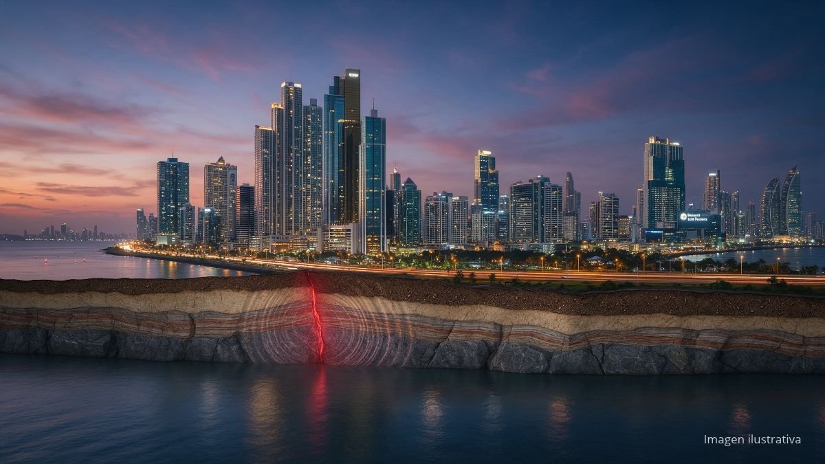
In Panama City, areas with sedimentary soils such as the Clayton caldera, Albrook, and Costa del Este have a higher seismic risk, according to an analysis published by La Estrella de Panamá. Land reclaimed from the sea and soft soils near the coast deserve special attention.
Seismic microzonation: the map every city is missing
Seismic microzonation identifies those differences within a single city. A municipal microzonation study should combine:
- geology and faults;
- fill thickness and depth to bedrock;
- dynamic soil properties;
- groundwater level and liquefaction potential;
- slope stability;
- expected ground-motion amplification;
- and urban exposure.
The result should be translated into practical maps for land-use planning: where building is allowed, what foundation and design requirements apply, and which areas need additional studies. Panama’s REP-2004 already called for local seismic risk maps, but bringing them down to the scale of each municipality remains unfinished work.
From the hazard map to a vulnerability program
Knowing the hazard is not enough without knowing which buildings are exposed and how they would respond. Panama needs municipal vulnerability programs that include:
- A georeferenced inventory of buildings.
- Their classification by use, height, age, materials, and structural system.
- Identification of informal construction and buildings that predate modern codes.
- Prioritization of retrofits based on risk.
The data support that priority. According to the GEM Foundation’s seismic risk profile of Panama (2023), 99% of the population lives in areas where an earthquake could produce ground accelerations above 0.1 g, and 74% where they could exceed 0.2 g. The highest-risk areas include Barú, Bugaba, and David in Chiriquí, along with Arraiján, San Miguelito, Colón, and Panama.
Geologist Keli Correa also notes that a World Bank seismic risk profile from March 2026 identifies inadequately reinforced masonry as a major source of potential losses and Chiriquí as the province with the highest relative risk. The Azuero earthquake confirmed this in practice: nearly one in four homes assessed had total damage.
Critical facilities: the top priority in seismic risk management
An assessment should determine not only whether a building could collapse, but whether it will keep functioning. A hospital can remain standing and still be out of service because of damage to its equipment, power supply, or access routes. The priority is facilities that must operate after an earthquake:
- Hospitals, health centers, and schools that serve as shelters.
- Fire stations, police stations, and emergency operations centers.
- Bridges, strategic corridors, ports, and airports.
- Water, sanitation, electricity, and telecommunications.
In the Azuero earthquake, 619 schools and 42 health facilities were affected, according to Sinaproc: exactly the kind of facilities a community needs standing and operating after an earthquake.
A geological risk matrix for every project
In managing the seismic risk of a project, every infrastructure project should include, from the pre-feasibility stage, a geological risk matrix that is updated through design, construction, and operation. It should consider not only the seismic hazard but also the site’s geological, geomorphological, hydrogeological, and geotechnical conditions, and evaluate for each risk its probability, consequences, control measures, and residual risk.
| Risk | Factors | Consequences | Response |
|---|---|---|---|
| Seismic shaking and local amplification | Seismic sources, acceleration, site effects, and soil thickness | Structural damage and higher seismic demand | Seismic parameters, site response study, and appropriate design |
| Liquefaction, settlement, and slopes | Loose saturated sands, fill, soft soils, slopes, and water | Settlement, loss of bearing capacity, and instability | Ground improvement, suitable foundations, stabilization, and drainage |
| Faults and geological uncertainty | Geological structures, deformation, and insufficient subsurface information | Unforeseen conditions, displacement, cost overruns, and redesigns | Expand the investigation, update the geological model, and adapt the design |
| Erosion, flooding, and mass movements | River and coastal erosion, flooding, and landslides, worsened by extreme rainfall and sea-level rise | Land loss, scour, slope instability, and damage to infrastructure | Site characterization, drainage, stabilization, erosion protection, and monitoring |
Climate change must be added to this analysis. More intense rainfall, extreme weather events, and sea-level rise can alter ground conditions and intensify landslides, erosion, and flooding. A modern matrix should integrate geology, climate, vulnerability, and exposure to anticipate scenarios and make decisions before a hazard becomes a disaster.
Understanding the ground to build resilience
A geotechnical investigation explores only a tiny fraction of the subsurface. That is why boreholes should not be interpreted as isolated columns: a conceptual geological model is needed to explain the continuity of materials, their lateral variations, weathering, geological structures, and groundwater.
Geology should also accompany construction. During excavation, changes in the depth to bedrock, unidentified fill, fractured zones, or water may appear. Those findings should be recorded and used to update the design and the risk matrix.
Seismic resilience does not depend on a single discipline. It requires coordination among geologists, geotechnical and structural engineers, architects, urban planners, authorities, universities, builders, and communities. If your project needs geological, geotechnical, or structural studies, browse our directory of engineering and consulting firms in Panama.
From information to a culture of seismic safety
Despite technical and regulatory progress, one of Panama’s main weaknesses is the lack of an established culture of seismic safety. When a society does not know the hazards of its territory, it can hardly understand its vulnerability, demand safe construction, or respond well in an emergency.
That culture is built when scientific knowledge reaches schools, universities, communities, businesses, and authorities. Earthquake education should start in school and continue throughout professional training, with drills, case studies, and clear protocols, like the ones we explain in our guide on what to check after an earthquake.
“Geology gains purpose when knowledge of the ground is turned into decisions that protect lives, reduce risk, and allow us to build more safely and sustainably.”
— Dr. Keli Correa, geologist, professor at the Technological University of Panama and the National University of Panama, and consultant
The goal is not to spread fear, but to replace improvisation with knowledge. Seismic risk management begins long before the earthquake: in the classroom, in urban planning, and in every technical, institutional, and civic decision.
Frequently asked questions about seismic risk management
What is seismic risk management?
It is the set of actions taken to reduce the consequences of earthquakes before they happen: understanding the ground, planning land use, designing and building to code, retrofitting vulnerable structures, maintaining them, and preparing institutions and the public.
What is the difference between seismic hazard, vulnerability, and risk?
Hazard is the likelihood and severity of ground shaking at a site. Vulnerability is how susceptible a structure is to damage. Risk combines both with exposure: the people and assets that could be affected.
What is seismic microzonation?
It is a study that divides a city into zones based on how its soil responds to an earthquake. It combines geology, faults, fill, depth to bedrock, groundwater level, liquefaction, and slopes, and is translated into maps for land-use planning and design.
Why does soil type affect earthquake damage?
Because soft soils and thick deposits amplify shaking and make it last longer. The same earthquake can cause very different damage in two nearby neighborhoods depending on the soil they were built on.
What is a geological risk matrix?
It is a tool that identifies a project’s geological risks, such as seismic shaking, liquefaction, faults, or landslides, and evaluates their probability, consequences, control measures, and residual risk. It should be used from the pre-feasibility stage and updated at every phase.
Which code governs seismic design in Panama?
The Panama Structural Code REP-2021, approved by the Technical Board of Engineering and Architecture through Resolution JTIA 020-2022 and in force since April 30, 2023.
Sources
- Dr. Keli Correa, geologist, professor at the Technological University of Panama and the National University of Panama, and consultant. Insights presented following the Engineering and Seismic Risk Forum (UTP, September 8, 2026).
- Official Gazette No. 29770-A (April 27, 2023): Resolution JTIA 017-2023 on the entry into force of REP-2021 (in Spanish).
- GEM Foundation (2023). Seismic risk profile of Panama.
- La Estrella de Panamá (2026). Understanding the seismic risk of Panama City (in Spanish).
- Panamá América (2026). Revision of the Panama Structural Code proposed: the earthquake will be a case study (in Spanish).