
-
CoveragePanama, Central America, Caribbean
Advanced surveying, LiDAR, and GPR in Panama
SECONPA S.A. is a Panamanian company specializing in infrastructure projects, advanced surveying, and technical analysis for civil works, construction, industrial, and land development projects.
The company combines technologies such as LiDAR, GPR, specialized drones, GPS surveying, and electromagnetic utility locating, bringing accuracy, efficiency, and reliability to every stage of a project.
Surveying services for infrastructure projects
SECONPA offers comprehensive solutions for developing and optimizing civil, construction, and industrial projects. Its approach focuses on improving field efficiency, reducing technical risk, and providing reliable information for decision-making.
Its main services include:
Conventional surveying for surveys, stakeout, construction control, and field support.
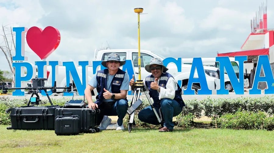
GPS surveying for georeferenced measurements, control points, and higher-accuracy surveys.
LiDAR surveying for high-resolution surveys and analysis of terrain, critical infrastructure, roads, transmission lines, and hard-to-reach areas.
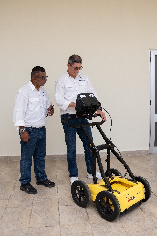
GPR technology for non-destructive subsurface scanning and evaluation of buried elements.
Electromagnetic locating to identify networks, pipes, cables, and other buried utilities.
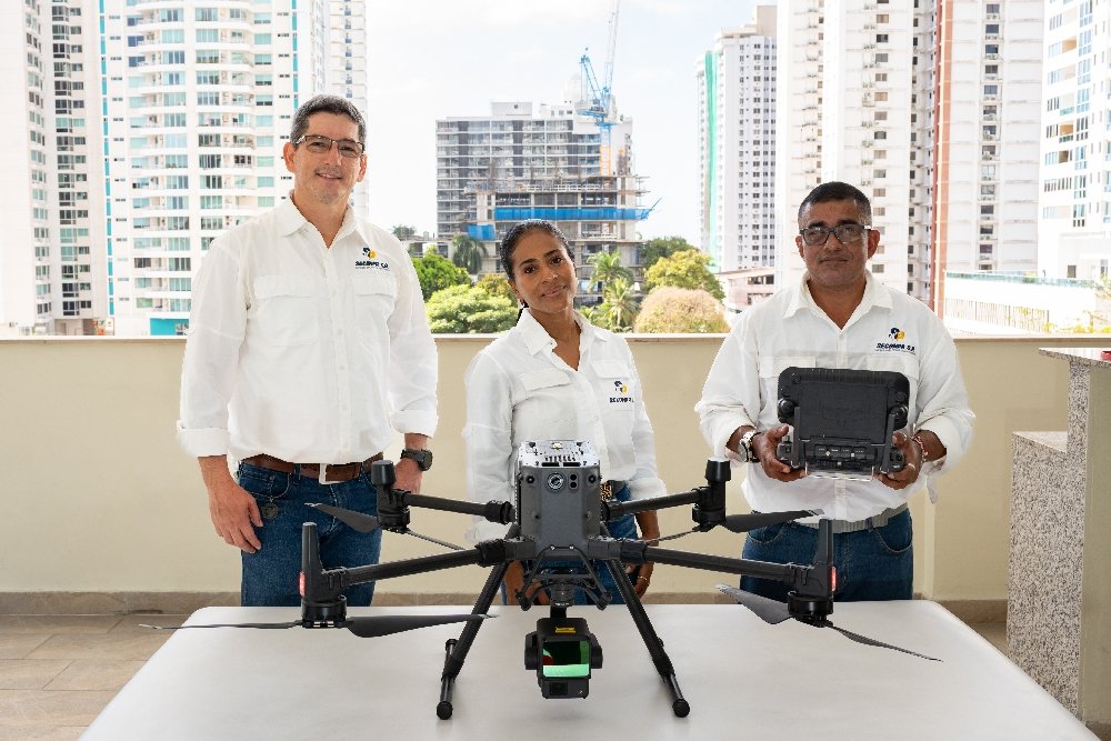
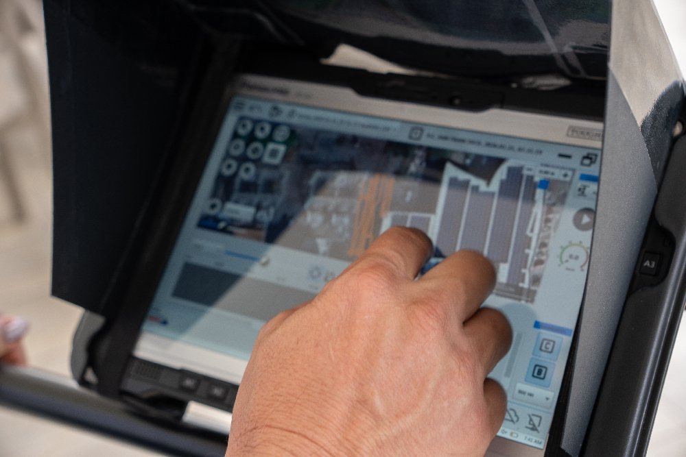
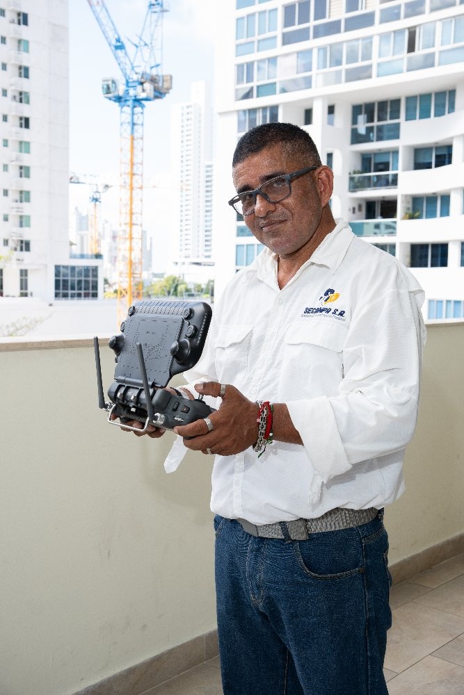
Drones and sensors for aerial data capture, modeling, inspection, and surface analysis.
Infrastructure construction as technical support for civil and construction projects.
LiDAR and drone surveys for high-precision data
LiDAR surveying captures detailed terrain data and produces high-value technical inputs for engineering, design, planning, inspection, and project control.
SECONPA uses this technology to support projects that need accurate information, especially in infrastructure, complex terrain, transmission lines, roads, large areas, and places where conventional methods may be limited.
GPR technology and electromagnetic locating
GPR technology, also known as ground-penetrating radar, allows non-destructive analysis of the subsurface. It is useful for detecting hidden elements, checking subsurface conditions, and reducing risk before excavating, cutting, or carrying out other work.
Combined with electromagnetic locating, it helps identify buried networks, pipes, cables, and other elements that could affect a project’s safety, budget, or schedule.
Solutions for Panama, Central America, and the Caribbean
SECONPA provides surveying, geodesy, applied technology, and construction services in Panama and Central America. Its website also states that it can carry out projects in Panama, the Dominican Republic, Colombia, the Caribbean, and Central America.
This coverage allows it to handle regional projects that require topographic surveys, terrain analysis, subsurface scanning, technical inspection, and specialized field support.
Technical support for civil, construction, and industrial projects
Accurate survey data is key to making better decisions on site. SECONPA brings technology, experience, and operational capacity to reduce uncertainty, optimize surveys, identify risks, and improve technical planning on every project.
Its approach combines specialized personnel, measuring equipment, drones, sensors, LiDAR, GPR, and methodologies applied to infrastructure and construction projects.
Location
FAQ
What services does SECONPA S.A. offer?
SECONPA offers conventional surveying, GPS surveying, LiDAR surveying, GPR technology, electromagnetic locating, drones and sensors, survey equipment rental, and infrastructure solutions.
Does SECONPA work with LiDAR technology?
Yes. SECONPA offers LiDAR surveying for high-resolution surveys and analysis of terrain, critical infrastructure, roads, transmission lines, and projects that require accurate data.
What is GPR technology and what is it used for?
GPR technology performs non-destructive scans of the subsurface to identify hidden elements, subsurface conditions, and potential conflicts before field work begins.
Does SECONPA work on projects outside Panama?
Yes. The company states that it can carry out projects in Panama, the Dominican Republic, Colombia, Central America, and the Caribbean.
What types of clients does SECONPA serve?
It serves builders, developers, engineering firms, contractors, industrial companies, and infrastructure, energy, road, urban development, and civil works projects.
What information is needed to request a quote?
It is best to include the project location, approximate area, type of survey required, preferred technology, scope, timeline, and expected deliverables.



Leave a Reply