Quick answer: 3D laser scanning uses terrestrial LiDAR to capture an existing building as a point cloud with millimeter- to centimeter-level accuracy. Scan to BIM is the process of turning that cloud into a BIM model (for example, in Revit) to design renovations, extensions or installations without measuring by hand.
Many projects in the Dominican Republic do not start from scratch: they are hotel renovations, industrial building extensions or restorations in the Colonial City. In all of them, existing drawings are often incomplete or do not match what was built. 3D laser scanning solves that problem.
What is 3D laser scanning
It is terrestrial LiDAR that measures millions of points on walls, ceilings, structures and installations. The result is a point cloud of the building as it stands, with accuracy from millimeters to a few centimeters depending on the equipment.
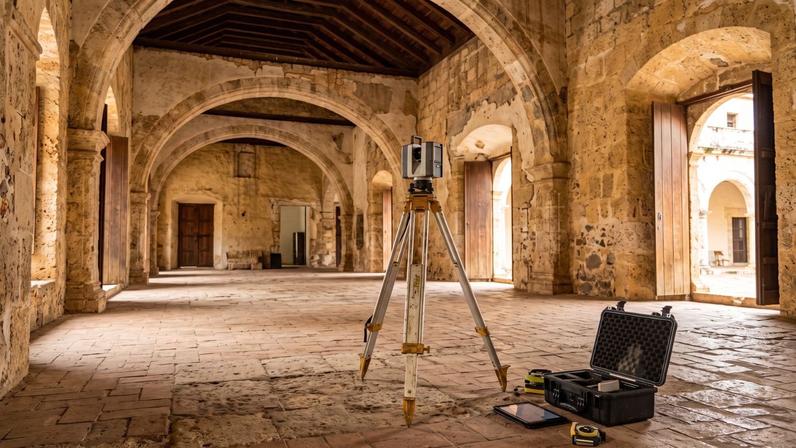
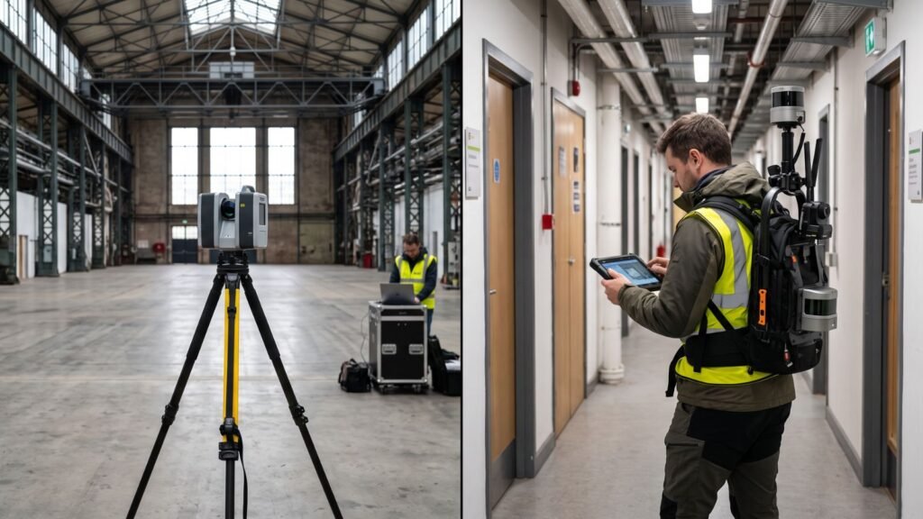
Static scanner (TLS)
Placed on a tripod at several positions. It is the most accurate and is used for façades, structures and heritage.
Mobile SLAM scanner
Carried in a backpack, by hand or on a vehicle, it scans while the operator walks. It is faster for large interiors, tunnels and streets, with somewhat less accuracy.
What is Scan to BIM
It is the process of converting the point cloud into a BIM model with walls, slabs, columns, beams and installations. The model is built in programs such as Revit or Archicad and defined to an agreed level of development (LOD).
Process steps
- Planning scan positions and control points.
- Field scanning.
- Registration and merging of scans into a single cloud.
- BIM modeling over the cloud.
- Delivery of the model, 2D drawings and the cloud for reference.
Uses in the Dominican Republic
- Hotels and resorts: renovating rooms, common areas and installations without closing the whole complex.
- Industrial buildings and free zones: extensions, new production lines and verification of steel structures.
- Heritage: documenting historic buildings in Santo Domingo’s Colonial City, a UNESCO World Heritage Site since 1990, before intervening.
- Construction control: comparing what was built with the design model and detecting deviations.
- MEP installations: modeling existing ducts, pipes and cable trays before a change.

What to ask the provider
| Item | What it should define |
|---|---|
| Scanner type | TLS, SLAM or a combination |
| Accuracy | Expected error in millimeters or centimeters |
| Model LOD | Which elements are modeled and in what detail |
| Software and version | Revit, Archicad or other |
| Deliverables | BIM model, 2D drawings, cloud in E57 or RCP |
| Timeline | Field and modeling days |
How it relates to aerial LiDAR
Drone LiDAR captures the terrain and exterior; the terrestrial scanner captures the interior and details. On large projects both clouds are merged into the same coordinate system. More on aerial LiDAR in LiDAR in the Dominican Republic and on formats in point clouds, DTMs and contour lines.
Find surveying and geomatics companies offering 3D scanning in the ConstructHUBS directory.
Frequently asked questions
What is Scan to BIM?
Converting the point cloud from a laser scan into an editable BIM model of an existing building.
How accurate is a 3D laser scanner?
Tripod scanners achieve millimeter accuracy; mobile SLAM scanners, one to a few centimeters, depending on the equipment.
In what format is the point cloud delivered?
In formats such as E57, RCP or LAS, depending on the client’s software.
How long does it take to scan a building?
Scanning usually takes from hours to a few days; BIM modeling is the longest part and depends on the LOD.
Is 3D scanning useful for historic buildings?
Yes. It documents the current state without touching the building and leaves an accurate record for restoration.