Quick answer: use LiDAR when the terrain has dense vegetation or cables, or when you need the real ground with centimeter accuracy. Use photogrammetry when the terrain is open and you need a good-quality orthomosaic at a lower cost. Many projects combine the two.
The most common question before a drone survey is whether to use LiDAR or photogrammetry. Both generate 3D terrain models, but they work differently and do not perform equally everywhere. In the Dominican Republic, where coast, mountains, sugarcane fields and forest mix, the choice changes the result.
How each method works
Drone photogrammetry
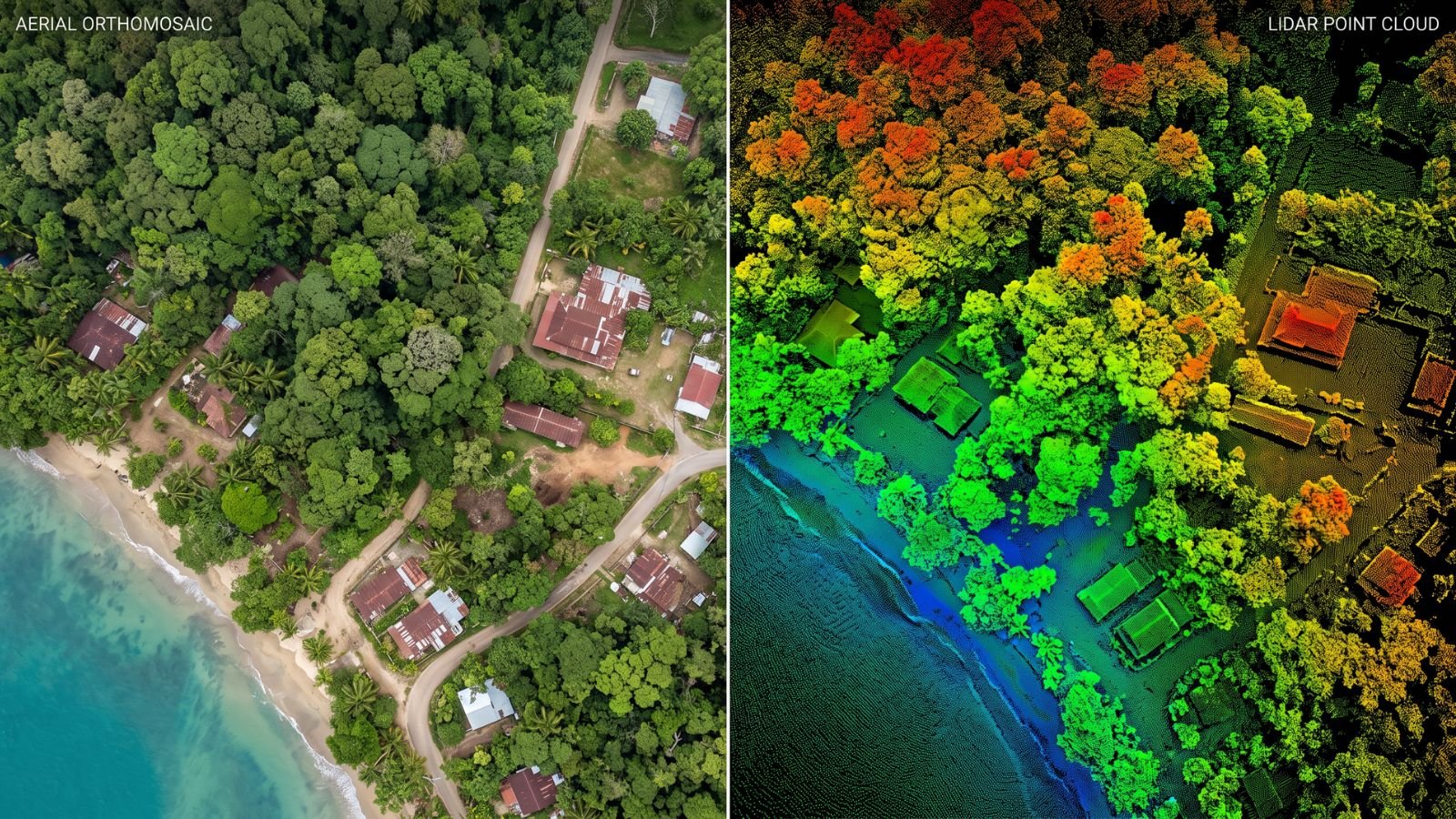
The drone takes hundreds of highly overlapping photos. Software finds the same points in several photos and calculates their 3D position. The result is an orthomosaic, a point cloud and a surface model.
Drone LiDAR
The sensor emits laser pulses and measures their return time. With the drone’s GNSS and inertial unit, each pulse becomes a point with coordinates. Some of the pulses reach the ground through the vegetation.

Quick comparison
| Criterion | Drone LiDAR | Drone photogrammetry |
|---|---|---|
| Densely vegetated terrain | Captures the real ground | Only sees the canopy surface |
| Open terrain | Very good | Very good |
| Cables, towers and thin structures | Captures them | Usually misses them |
| Color image of the site | Only if it carries a camera | High-quality orthomosaic |
| Textureless surfaces (water, sand, smooth roofs) | Works well | Fails or loses accuracy |
| Equipment and service cost | Higher | Lower |
| Dependence on light | Can fly in low light | Needs good light without strong shadows |
When LiDAR makes sense in the Dominican Republic
- Properties with forest, mangrove or sugarcane before development.
- Road corridors and power lines in mountainous areas.
- Drainage and flood studies, where every centimeter of elevation matters.
- Large tourism projects on the east coast. One example is the survey of about 1,200 hectares in Punta Cana.
When photogrammetry is enough
- Open urban lots and plots.
- Monthly construction progress monitoring.
- Volume calculations in quarries and stockpiles.
- Visual inspection of roofs and façades.
Combining both methods
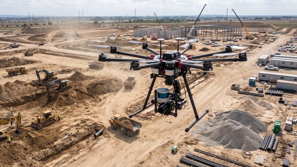
Many current sensors carry LiDAR and a camera in the same unit. That way you get the ground with LiDAR and the color orthomosaic in a single flight. It is the most complete option for project design and presentation.
What to ask the provider
- Vertical and horizontal accuracy committed in writing.
- Number and location of ground control points.
- Point density (LiDAR) or pixel size (photogrammetry).
- Delivery formats and coordinate system.
- IDAC flight permit where applicable.
See what each deliverable should include in point clouds, DTMs and contour lines and the full context in LiDAR in the Dominican Republic. Compare providers in the directory of surveying and geomatics companies, such as SECONPA.
Frequently asked questions
Which is more accurate, LiDAR or photogrammetry?
On open terrain with good control points, both achieve accuracies of a few centimeters. With vegetation, LiDAR is far more accurate on the ground.
Can photogrammetry be used for contour lines?
Yes, on terrain without vegetation. Where there are trees, the contours will follow the canopy, not the ground.
Why is LiDAR more expensive?
The sensor costs much more than a camera, and processing and classifying the point cloud requires more specialized work.
Can both be used on the same project?
Yes. It is common to fly LiDAR for the terrain and photogrammetry for the orthomosaic, or to use a sensor that does both.
Which method is best for construction progress?
Usually photogrammetry, because it is cheaper for repeated flights and gives a clear image of the site.