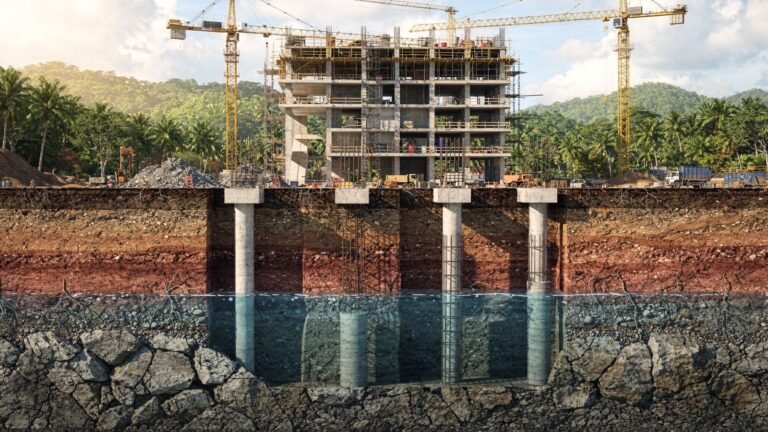
Ground-penetrating radar (GPR) lets you see below the surface without digging: it emits electromagnetic waves and records their echoes to locate pipes, cables, voids or reinforcing steel. Combined with LiDAR, which captures the surface, it provides a complete view of the site, from the terrain down to several meters deep, and prevents damage, accidents and cost overruns before drilling or excavating.
This content is part of our construction magazine for the Americas, within the editorial line dedicated to technology and innovation in construction.
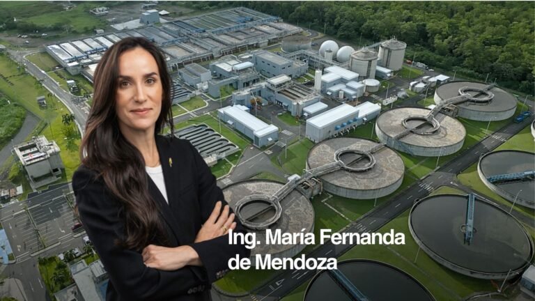
The article is based on the experience of SECONPA, a surveying and subsurface scanning company operating in Panama and the Caribbean.
You can also read the version published in the November 2025 issue of Construcción en Panamá magazine (in Spanish).
How does ground-penetrating radar work?
GPR transmits radio pulses into the ground or structure and measures the echoes that return when they hit different materials or voids. The U.S. Environmental Protection Agency (EPA) defines it as “a geophysical electromagnetic method that transmits radio wave pulses and measures the returning echoes to determine the geometry and depth of subsurface reflectors.”
What is GPR used for in construction?
- Construction and infrastructure: detecting ducts, power lines, drains and reinforcing steel before excavating or drilling.
- Structural safety: inspecting bridges, slabs and pavements without damaging them and, for bridges, without interrupting traffic.
- Geotechnics and mining: identifying natural cavities, moisture or density variations.
- Heritage: non-invasive studies at archaeological sites and historic buildings.
LiDAR + GPR: surface and subsurface
LiDAR measures the terrain’s geometry with lasers and produces point clouds, elevation models and orthophotos; GPR reveals what lies beneath. Together they:
- Provide a complete picture of the site and reduce uncertainty.
- Avoid unnecessary excavation and rework.
- Detect obstacles before work begins.
- Generate information that can be integrated into BIM models.
For the surface side, see our article on LiDAR surveying in Panama.
Applications on real projects
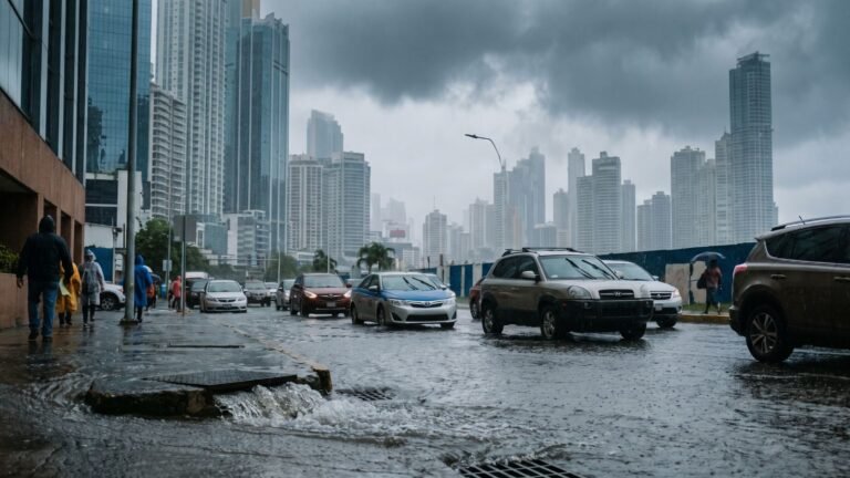
- Roads and urban works: LiDAR supports the design of roads, overpasses and drainage; GPR locates existing underground utilities.
- Earthworks: accurate calculation of excavation and fill.
- Structural diagnosis: internal assessment of bridges and structures to extend their service life.
- Environmental studies: management of forests, watersheds and protected areas with LiDAR.
Frequently asked questions about ground-penetrating radar
Does GPR detect plastic pipes?
It detects buried elements through the contrast between their materials and the surroundings, including pipes, cables and voids; how clear the result is depends on the material, depth and soil type.
Does it damage the structure being inspected?
No. It is a non-destructive, non-invasive method.
What is the difference between LiDAR and GPR?
LiDAR measures the surface with lasers; GPR explores the subsurface or the inside of structures with radio waves.