Quick answer: the price of a drone LiDAR survey depends mainly on area, vegetation, required accuracy and deliverables. Per hectare, large projects cost less than small ones, because mobilization and control points are spread over more area. Always ask for an itemized quote.
One of the first questions when planning a project is how much the survey will cost. With LiDAR there is no fixed price: two properties of the same size can cost very differently. This guide explains what drives the price and how to compare quotes in the Dominican Republic.
What sets the price
Area and shape of the site
The cost per hectare falls as the area grows. A long, narrow corridor (a road) costs differently from a compact polygon of the same surface.
Vegetation and relief
With forest, mangrove or steep slopes, flights are lower or have more passes so enough pulses reach the ground. That adds flight and processing time.
Accuracy and point density
More points per square meter and higher accuracy mean more flying, more control points and more quality control.
Ground control points
They are measured with GNSS to tie the flight to real coordinates. Their number depends on the area and the required accuracy.
Deliverables
An unclassified point cloud costs less than a package with DTM, contour lines, orthomosaic and CAD drawings. See each one in point clouds, DTMs and contour lines.
Location, access and permits
Equipment transport, staff lodging and the IDAC permit all matter, especially in remote areas or near airports.
LiDAR or photogrammetry: impact on the budget
On open terrain, photogrammetry is usually cheaper and sufficient. With vegetation, the savings disappear because the model will not show the real ground. Compare both in LiDAR vs. drone photogrammetry.
Checklist for comparing quotes
| Item to check | What the quote should state |
|---|---|
| Area | Hectares and exact polygon |
| Equipment | Drone and LiDAR sensor model |
| Density | Points per square meter |
| Accuracy | Committed vertical and horizontal error |
| Control | Number of control and check points |
| Coordinate system | Delivery frame and projection |
| Deliverables | Formats: LAS, DTM, contours in DWG, orthomosaic |
| Timeline | Field and processing days |
| Permits | Who handles the IDAC permit |
| Revisions | Corrections included after delivery |
How to save without losing quality
- Define the polygon carefully: don’t pay for area you don’t need.
- Ask only for the accuracy your design requires.
- Group several nearby properties into one flight.
- If you already have geodetic points on site, offer them to the provider.
A real example
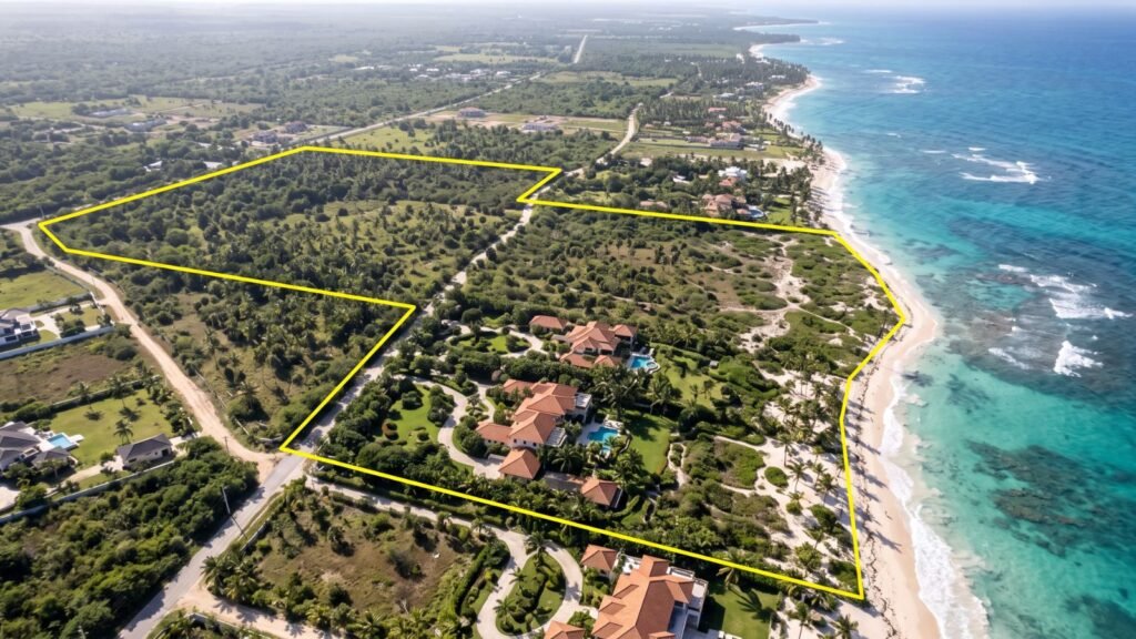
In Punta Cana, about 1,200 hectares were surveyed with LiDAR and GPS to plan a development. The case is in LiDAR and GPS survey in Punta Cana.
Request quotes from surveying and geomatics companies in the directory. If you offer these services, list your company. Complete guide: LiDAR in the Dominican Republic.
Frequently asked questions
How much does a LiDAR survey cost per hectare?
It varies with total area, vegetation, accuracy and deliverables. It is best to request at least three itemized quotes with the same requirements.
Why does a small survey cost more per hectare?
Because transport, permits and control points have a fixed cost spread over fewer hectares.
Does the price include the IDAC permit?
It depends on the provider. Ask for it in writing in the quote.
How long does a LiDAR survey take?
The flight can take hours or a few days; processing and classification usually take longer than the flight.
Which is cheaper, LiDAR or photogrammetry?
Photogrammetry, on open terrain. With dense vegetation, LiDAR avoids repeating field work.